


The Hanalei River app is a specialized weather tool designed for residents and visitors on Kaua'i. It provides real-time river gauge height data, helping users monitor water levels during heavy rains. This ensures safety and preparedness when planning activities near the river.
In addition to river data, the app offers access to Hanalei Initiative's road camera, allowing users to check if roads are open or flooded. With upcoming features like tide data and push notifications, this app will become an essential resource for staying informed about environmental conditions in the area.
Hanalei River stands out with its unique focus on local weather and safety needs. The app delivers accurate river gauge readings specific to the Hanalei region, making it invaluable during rainy seasons. Its integration with a live road camera enhances situational awareness.
Future updates promise even more functionality, including tide information and proactive alerts via push notifications. These enhancements will provide comprehensive coverage of Kaua'i's dynamic weather patterns, ensuring users have all the tools they need at their fingertips.
Accurate weather forecasting is essential for planning and safety, especially in regions prone to heavy rains. The Hanalei River app provides reliable gauge height data during significant rainfall events on Kaua'i.
This application sources its information directly from the Hanalei river gauge, ensuring that users receive precise and timely updates. By integrating official measurement tools, the app maintains high data credibility.
Users benefit from having trustworthy information at their fingertips, allowing them to make informed decisions about travel and safety. With real-time data access, residents and visitors can stay ahead of potential flooding risks.
Understanding both the temporal and spatial aspects of weather forecasts is crucial for comprehensive preparedness. The Hanalei River app offers insights into current conditions with plans to expand its scope to include tide data soon.
Currently, users can monitor river levels over time, providing a temporal forecast range that helps anticipate rising waters. Future updates promise to enhance this by adding tidal information specific to the Hanalei area.
By expanding its spatial coverage to encompass all Kaua'i rivers, the app aims to offer a broader perspective on water levels across the island. This extended forecast range will empower users with more thorough situational awareness.
User-friendly interface
Real-time river data
Road condition updates
Upcoming tide info
Push notification alerts
Limited to Kaua'i
Fewer features now
Dependent on cameras
No global use
Location specific
Ultimate weather forecast + moon phase for Wear OS 5+ (Pixel, Galaxy, et al.)
 4.70
4.70
Thermometer shows indoor and outdoor temperature
4.70
Get instant weather & temperature predictions right on your Wear OS smartwatch!
4.4
Hurricane Tracker, Rain Map
4.80
Local Weather provides accurate and current hourly and daily forecasts.
4.80
72-hour weather & daily forecasts with extreme weather alerts
4.60
Track lightning strikes with our thunderstorms map, radar and lightning alarm.
4.70
Local weather forecast app, your personal 7*24 local weather forecast assistant.
4.90
Hyperlocal Forecasts, Live Radar, Severe Weather alerts & Homescreen Widgets
4.30
Accurate weather forecast, daily weather changes are easy to grasp
4.90
The moon phases app for tracking the lunar calendar, blue moon and full moon.
4.80
NOAA forecast & radar for your exact location.
4.80
The reliable and trusted global air quality, wildfire, pollen, PM2.5 forecast
4.70
Road weather, live radar, wind, snow, and conditions along your driving route.
4.70
Accurate Weather App: various widgets, real-time storm radar, hurricane tracker.
4.50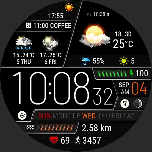
Weather watch face for Wear OS 5+
4.40
Live NOAA weather app to track storm, rain, wind, lightning & real local updates
4.20
Check forecasts, watch live news & track storms with FOX Weather.
3.80
Instant weather updates, easy to check anytime on your home screen.
3.50


User Reviews